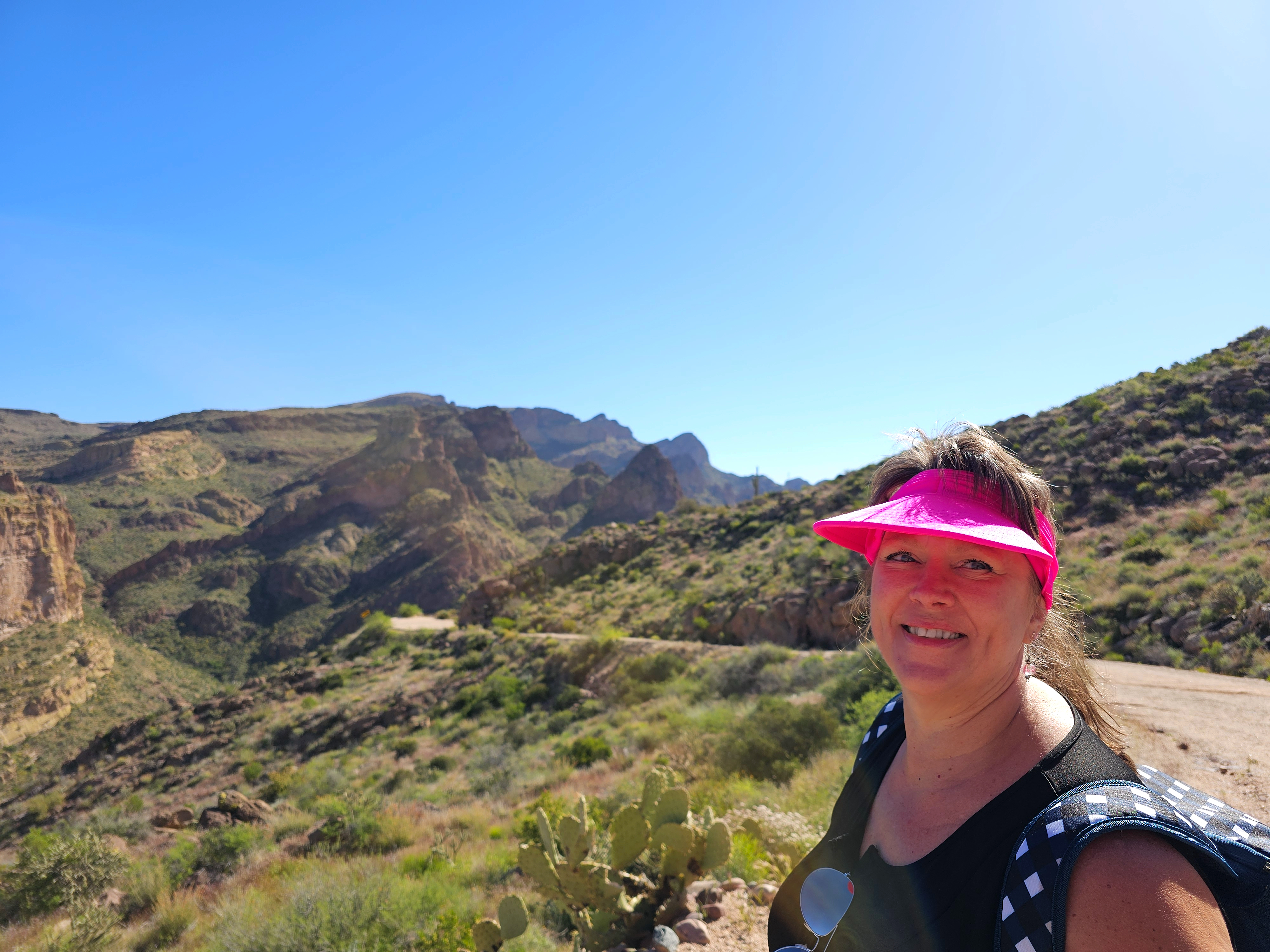
Monday morning we got up early and left Mona at 7:15. We drove an hour up the Apache Trail, [past Tortilla Flat, down a dirt road to where the road ends and is closed. Al took the photos and I decided to learn how to better use my GoPro Hero 11. I'm definitely not a Pro!!! Then I took my 56 video clips and edited them into a 20 minute video of our adventure, It took me several tries to get it done and uploaded. I learned a lot during the process! The other short videos I have posted were easy compared to this!
A little history behind the Apache Trail and why it is closed...
The existing Apache Trail in Arizona is a 120 mile circle route through the Superstition Mountains. It was named after the Apache Indians who originally used this trail to move through the Superstition Mountains for over 1000 years and then it was a stagecoach trail that ran through the mountains.
President Theodore Roosevelt signed the National
Reclamation Act in 1902 which would provide federal loans for construction of
massive dams in the western United States.
Roosevelt Dam (Initially called Tonto Dam) was the first major Western water project approved by Congress in 1902, but the remote site presented major logistical challenges. Local farmers pledged their land as collateral for the loans, and made plans to construct a dam at the juncture of the Salt River and Tonto Creek. Before any work could begin at the dam site, an access roadway would need to be built. The solution was to carve a “highway” of sorts along the route of an ancient footpath used by Native American traders. Construction of the 62 mile haul road, the Apache Trail, began in August 1903 and took two years to build. The Apache Trail began its humble beginning as the wagon-haul road for the transportation of men, equipment, and supplies from the townsite of Mesa to the proposed construction site of the Tonto Dam (later renamed Roosevelt Dam).
The Trail winds steeply through 40 miles of rugged desert mountains, past deep reservoir lakes like Canyon Lake and Apache Lake. The narrow, winding road is unpaved from just east of the town of Tortilla Flat to Roosevelt Dam; there are steep cliff drops and little in the way of safety barriers.
The Apache Trail was designated as Arizona’s first historic highway.


Due to extensive roadway damage and rock debris following
severe flooding in 2019, a 5-mile, unpaved section of State Route 88 (Apache
Trail) from the Fish Creek Hill Overlook/Rest Area (milepost 222) to milepost
227 remains closed for public safety reasons.
The Woodbury Fire in June 2019 consumed almost 124,000
acres of the Tonto National Forest. In September 2019 a storm dumped
approximately six inches of rain onto the fire scar and the runoff severely
damaged large portions of the road, with the most damage being in the area
between Fish Creek Hill Overlook and milepost 227 (near Reavis Trailhead Road).
The damage included a large rockslide that left that section of the road
unpassable.


Salt River (Arizona) – A Native American tribe—the Pima in
their O'odham language or People’s language, called the river Onk Akimel
meaning Salt River. Below Theodore Roosevelt Dam, the Salt River passes through
the canyon between the Mazatzal Mountains and the Superstition Mountains and is
impounded by Horse Mesa Dam (forming Apache Lake) then Mormon Flat Dam (forming
Canyon Lake) then Stewart Mountain Dam (forming Saguaro Lake).
1 comment:
Great video...
Post a Comment