


Notice the fine line on the photo above that shows the peak BEFORE the volcano erupted and blew the top off!


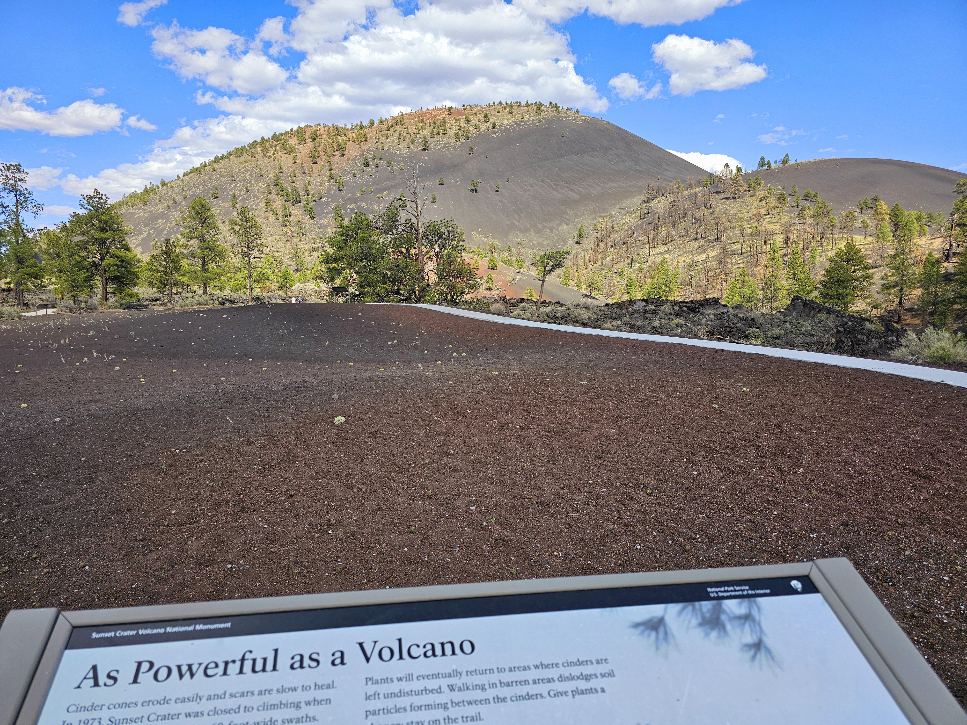
SUNSET CRATER FACTS
Erupted mid 1080s
Height 100 ft
Elevation at Summit
8,029
Diameter at base 1 mile
Diameter at top 2250 from rim to rim
Depth 300 ft
Ash (called tephra) fall 800 sq. mi. The tephra layer is more
than 60 feet deep on the slopes of Sunset Crater and gradually thins to only a few
inches about 12 miles to the northeast at Wupatki National Monument.


The lava flows were very interesting, this area reminded me of the lava flows in Hawaii.


If you look closely in the center of this flow there's lava that squeezed up through, almost like silly putty and solidified like that.

Some of the Douglas firs were burned in wild fires.

Some survived the wild fires.


I experimented with the panorama view on my phone, it's pretty cool in my opinion!


The San Francisco Peaks are actually the rim of a volcano that blew long ago.
I did not make a video of Sunset Crater because we planned on just exploring and didn't bring the GoPro. I did include some others I found below.
More resources to explore!
Sunset Crater (US Geological Survey)
1 comment:
Scott wanted to say that he's been looking at your blog too but "he's not much for commenting", but he does look and watch what you're posting. In that second video, the guy has almost 66K subscribers! I am a new one :)
Post a Comment