Monday Move Day...We moved to Sun Outdoors Canyonlands RV Park, Moab Utah
Drove into
Moab and Arches Visitor Center. Ate dinner at Moab Diner. It was a cute sort of
50’s theme diner. Good diner food. Al had a smothered burger and I had a French
dip with green chilies. Very good! $45
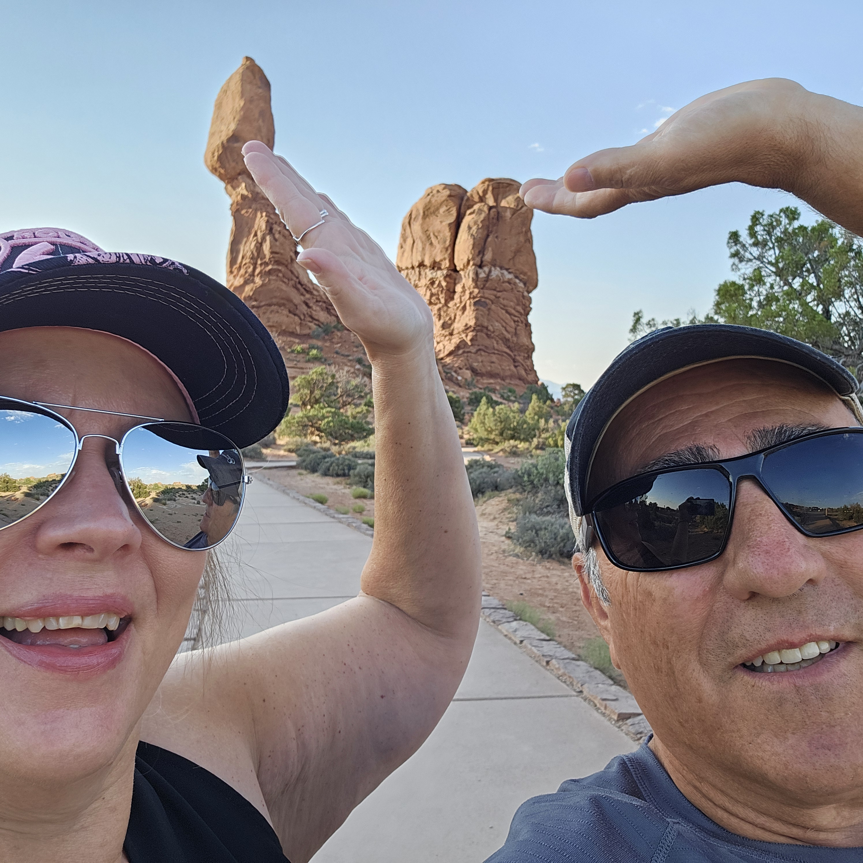
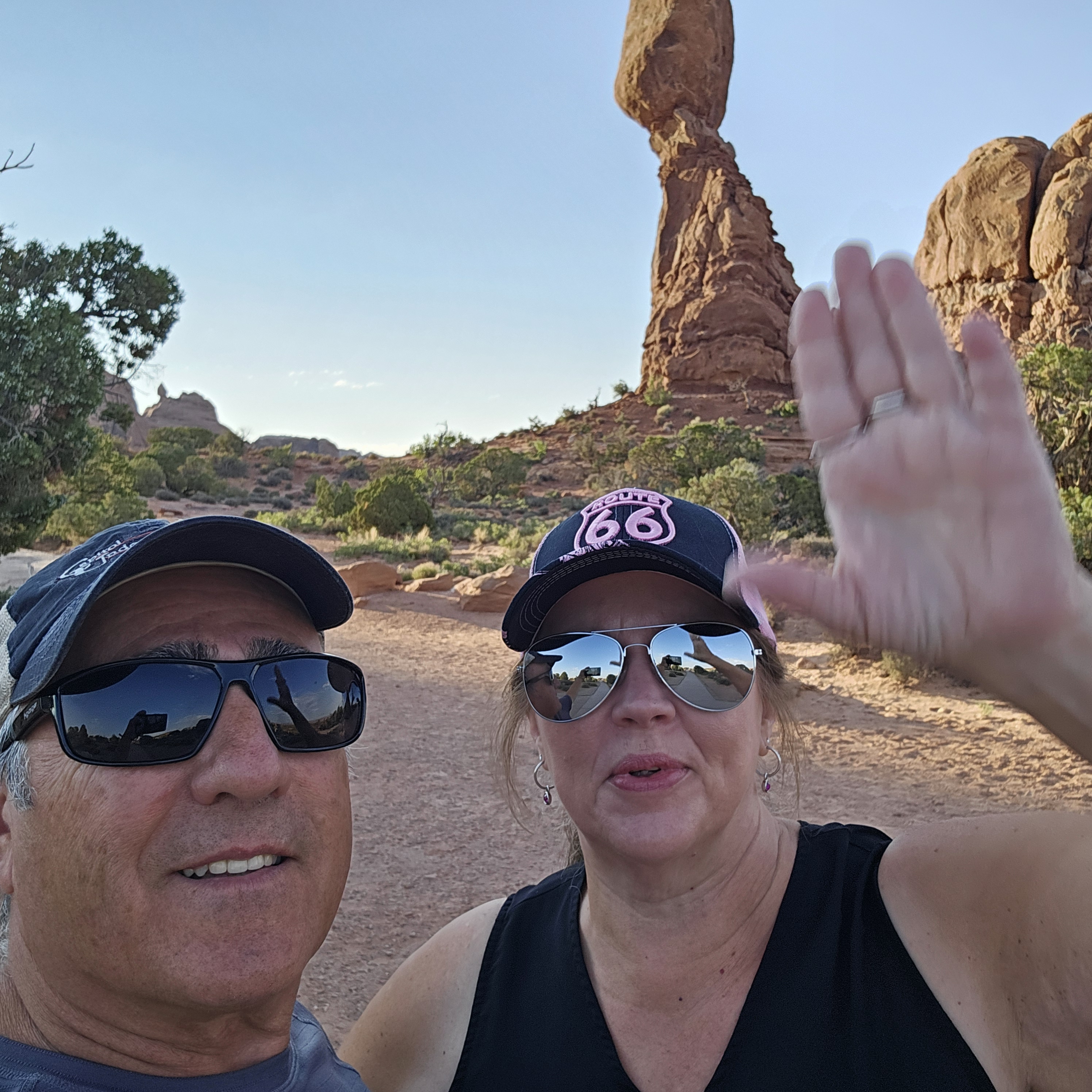
Arches
National Park—There are more than 2000 arches within Aches National Park’s
76,518 acres. There are many other geological formations including colossal
sandstone fins, massive balanced rocks, soaring pinnacles and spires and more.


Tuesday July 09, 2024

Al left at
6:30 am to hike The Devil’s Garden Trail and Rim Overlook Trail at Arches
National Park. I worked on the blog.
Devil’s
Garden inside Arches National Park includes Landscape Arch, Fins, Spurs, slick
rock, narrow ledges and Navajo Arch.


We drove to
Dead Horse State Park then to Canyonlands- We followed the Shaka Guide Tour.
Shaka Guide is an app that you can purchase audio tours all over the United
States. We bought the National Park Package and we have enjoyed the tours so
far.


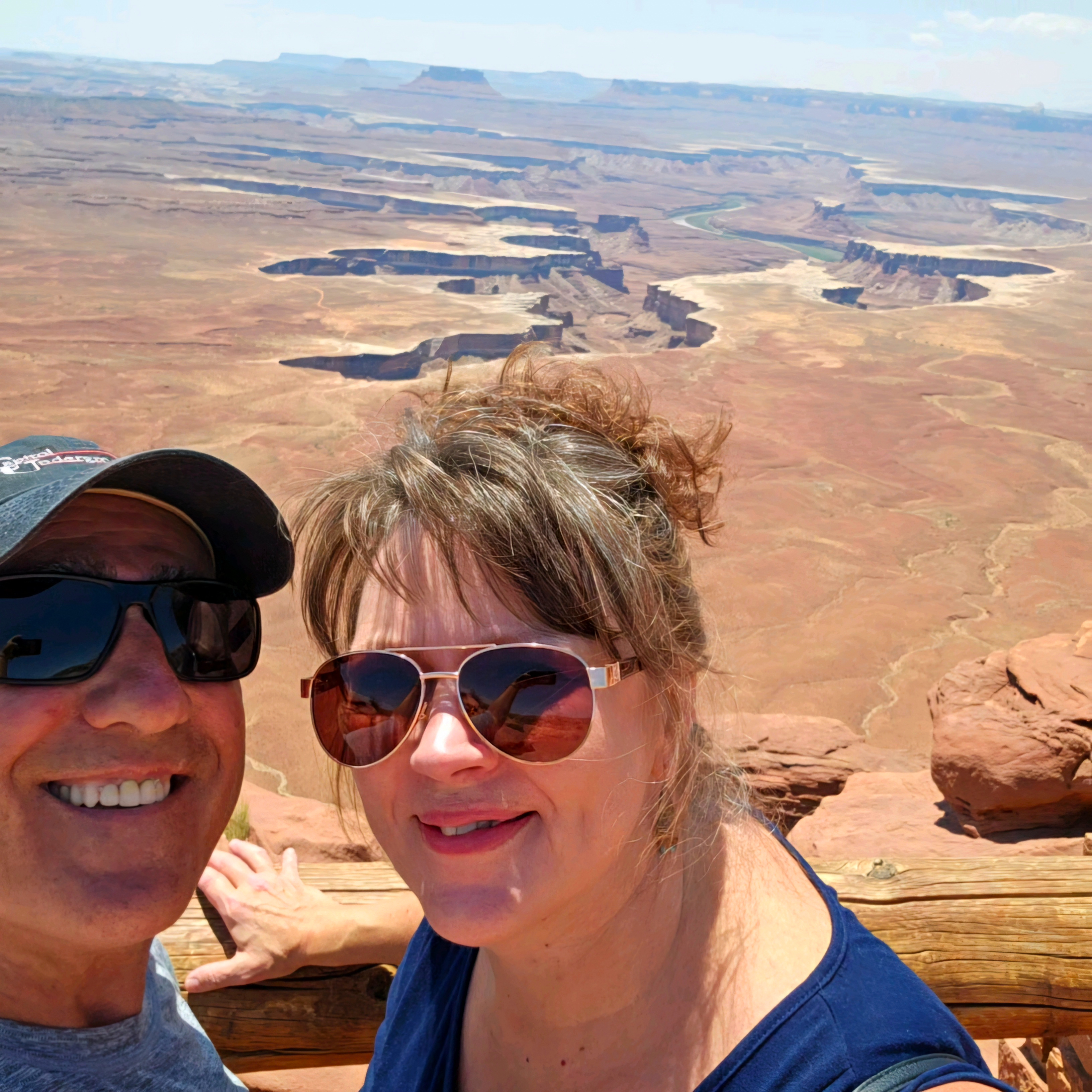
Dead Horse Point—2000 feet above the Colorado River. The legend of Dead Horse
Point states that in the late 1800s the point was used as a corral for wild
mustangs roaming the mesa. Cowboys (or horse thieves) herded them across the
narrow neck of land and onto the point. The neck was then fenced off with
branches and brush. One time, for some unknown reason (maybe the horse thieves
were apprehended), horses were left corralled on the waterless point where they
died of thirst within view of the Colorado River 2000 feet below. Deadhorse
Point is one of the most photographed vistas in the world.


Shafer Trail
Road goes down to the desert floor, past the cliff that Thelma & Louise
drove off in the movie and comes out near Moab. Starting in 1916, John “Sog”
Shafer, used this trail to move cattle from summer pastures on the mesa top to
winter ground on the White Rim sandstone, several rock layers down into the
canyon. John Shafer is credited for improving the trail and making access into
the canyon.


Island in
the Sky—Is a mesa
connected to the Colorado Plateau by a narrow 40 foot strip of land. The Island
in the Sky Mesa is surrounded by valleys and canyons carved by the green and
Colorado Rivers.


We decided
to follow the LaSal Mountain Scenic Drive. LaSal Means Mountain of Salt. We got
an early start because it was going to be over 100 degrees today.

We stumbled
across Ken’s Lake! Stopped for a photo for Ken.


First
off…the beginning of the road was closed. So we talked to the traffic control
person and she told us a way around. We couldn’t find it so we went first to
the Bureau of Land Management Office (closed since the world stalled in 2020)
then we went to the Forrest Service. Finally got a map and set out. We started
up the mountain and the woman at the gate said there was 17 miles of dirt road
to reach the other side and the mountain lakes. She said no problem with that
truck. I asked if it was bumpy…oh, no. It’s a good road. She lied. It started
out ok, but then it got rocky…like 4-wheel jeep rocky and narrow…and then one
lane with steep drop off scary… and in one spot the road was washing away. There
was one spot where there was boulders on both sides and I questioned if we
would fit! I was driving. I think Al didn’t trust my driving.


We went into
the Manti-LaSal National Forest.
Then, just when it felt like I drove 50 miles…the actual 17 miles was over and we found pavement. Ahhh… The we followed another dirt road for 4 miles to Oowah Mountain Lake where we had a picnic lunch. Oowah Lake sits at 8800 feet in elevation.


LaSal
Mountain Range---
Magma pushed up from a crack in the fault and pushed rocks upward. Mt. Peal,
part of the LaSal Mountain Range is the second tallest in Utah. We saw several patches of snow on the mountain!


The
Rectory is a series
of sandstone towers with names like Castleton Tower, the Rectory and Sister
Superior that rise as high as 1400 feet.
Bon Jovi recorded a video on top of The
Rectory! His crew cars, a building and a movie screen and everything were up
there!
Bon Jovi "Blaze of Glory"


It was like driving on the floor of the Grand Canyon looking up and all the layers and rock formations.


We had a 7:00 am reservation to enter Arches. We left early and got there before 7:00 because it’s another day of over 100 degrees (turned out to be 109 degrees). We followed The Shaka Guide Driving Tour for Arches.


.jpg)
Park
Avenue—Towering Skyscrapers

LaSal
Mountain View- Means The Salt. A Spanish explorer thought the giant peaks
looked like salt.


3 Gossips
Sheep
Rock—looks more like a lion to me but ok.

.jpg)


Scientist
believe that the 3 Gossips and the Sheep were once a huge double arch that
collapsed.


.jpg)


Delicate
Arch—is 60 feet tall. It was a rock fin that turned into an arch. It will
collapse eventually and turn into hoodoos.


1 comment:
Dead Horse Point history is interesting but sad for such a pretty sight.
Did you read Wild Bunch Women yet?
I like that you stopped at Ken's Lake. 👍🏼🙂
I had not seen that music video before of Blaze of Glory. I owned the CD and actually used the music on our Yellowstone trip but seeing the video was cool!
Great videos, makes us feel like we are there with you guys!
Post a Comment